Skip to content Skip to main navigation Skip to footer

Tag: bc-in-progress

North Benton County Community Pathways
Status: Planning and Design
Location:
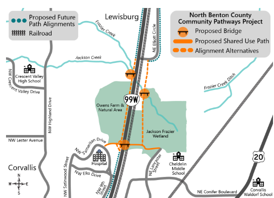
Over Jackson Creek for the proposed Corvallis to Adair Village Path.

Over OR 99W and the railroad tracks to connect the Good Samaritan Regional Medical Center to the Cheldelin neighborhood.

Project Description: Benton County is working with ODOT to plan a network of shared use paths to connect communities on the north side of Corvallis for bike riding, walking and rolling.
Schedule: Planning and Design 2025-2026
Last update: August 25, 2025

For more information on this project visit the ODOT project page.

Transportation Safety Action Plan

The Transportation Safety Action Plan (TSAP) is a project to make roads safer for everyone in Benton County. A volunteer Task Force, made up of community members with different transportation backgrounds, will help guide the process. Benton County and the City of Corvallis are working together—Corvallis will focus on city streets, while the county will handle roads in surrounding areas and those it maintains within city limits. This teamwork ensures a more effective and consistent approach to road safety. Please visit our TSAP website for all the details.

Corvallis-Albany Path Projects

The County is working with ODOT on new bike and pedestrian path projects to better connect Corvallis and Albany. Explore the projects below to learn more. More information about the Corvallis-Albany project can also be found here.

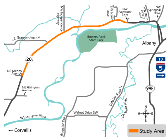
NE Merloy Avenue to NW Rainwater Lane

Status: Planning and Design
Location: NE Merloy Avenue to NW Rainwater Lane on Hwy 20.
Project Description: Benton County is pla​nning a shared use path for walking, biking, and rolling more safely between Corvallis and Albany. It will also help reduce greenhouse gas emission in the area by providing an alternate to driving between these communities.
Schedule: Planning and Design 2025-2026
Last update: August 25, 2025

For more information on this project visit the ODOT project page.

NW Scenic Drive to NW Springhill Drive

Status: On hold, pending the findings for ODOT project NW Rainwater Lane to NW Hickory Street.

Project Description: Planning, design and construction of a rural multi-use path in the North Albany area. The majority of design has been completed and property appraisals and right-of-way acquisition are underway. Surveying of the route has begun in conjunction with the project.

Impacts: The North Albany area will be better connected with the institution of this path, and it will provide more thorough and safe travel across a large swath of the area for pedestrians and cyclists.

Last update: August 25, 2025

NE Pilkington Avenue to NE Merloy Avenue

Status: Completed.

Project Description: In conjunction with the Oregon Department of Transportation and the Highway 20 Safety Improvement Project, Benton County is working to design and implement multi-use travel paths connecting Albany and Corvallis via different routes. The Pilkington to Merloy route was awarded the Community Paths Grant in 2021.

Impacts: Non-vehicular travel will be made possible through the implementation of the path. Construction will effect the surrounding area as needed.

Contractor: David Evans and Associates (preliminary design and right-of-way acquisition)

Last update: August 25, 2025

Dodge Island Road Bridge Replacement

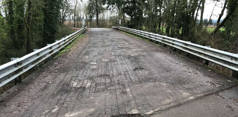
Dodge Island Road Bridge

Status: In Progress
Location: Dodge Island Road, near the intersection of Norton/Old River Road, bridging across the Dodge Island Slough.
Project Description: Replacement of 4-span timber bridge built in 1963 that provides access to rural residents and resource land. Design is currently in progress.
Impacts: Access to and from the latter half of Dodge Island Road will be effected during construction.
Contractor: Consor (engineering and design)
Schedule: Environmental and design studies are planned for 2024 and construction is anticipated for 2025.
Last update: October 20, 2023

For more information see our project flyer

Hayden Road Bridge Replacement

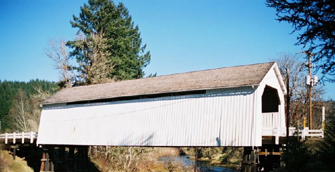
Covered Hayden Road Bridge

Status: In Progress
Location: Hayden Road covered bridge, just off of the intersection of Alsea Highway.
Project Description: Replacement of 4-span timber covered bridge built in 1918. Current bridge requires a weight limit that prohibits full access of the area and structurally deficient. The bridge will remain as a pedestrian bridge alongside the new bridge. Design and planning are in progress.
Impacts: Access to and from Hayden Road will be affected through construction.
Schedule: Primary design will continue through 2024 with construction anticipated to start in 2025.
Last update: November 30, 2023

For more information see our project flyer

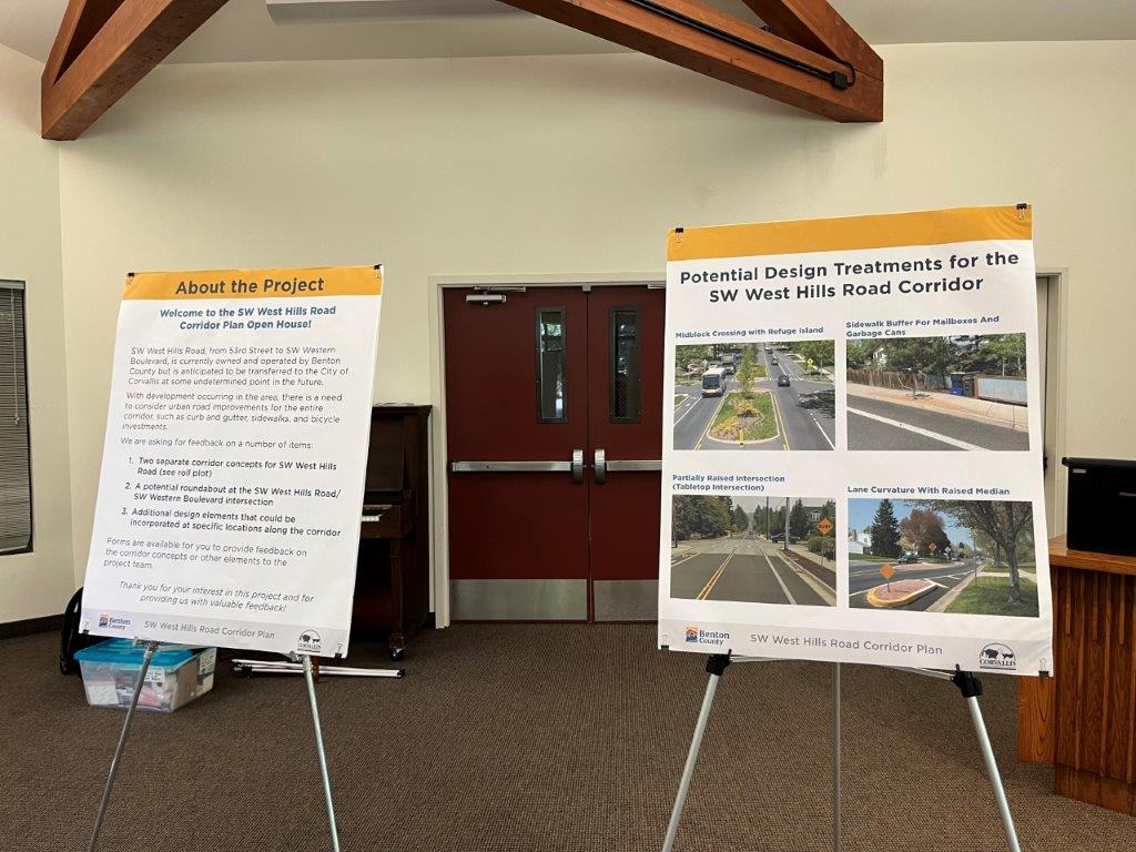
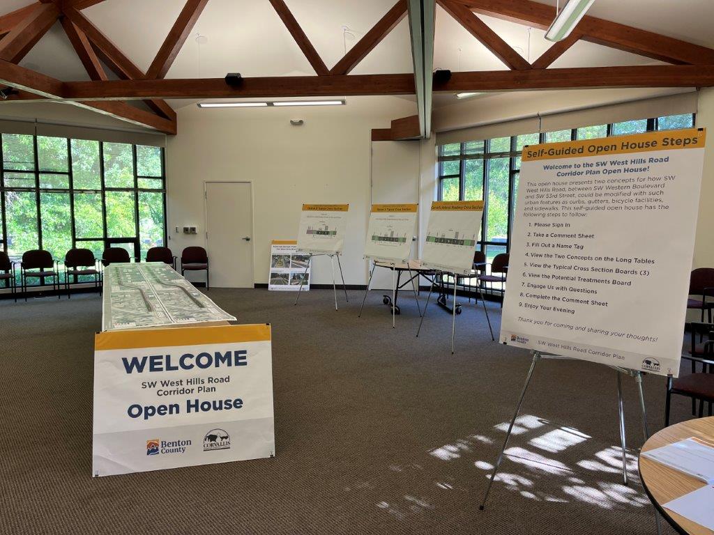
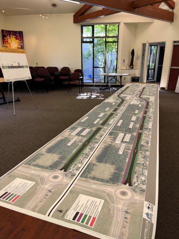
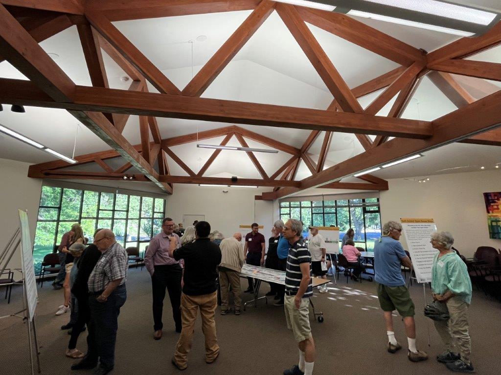
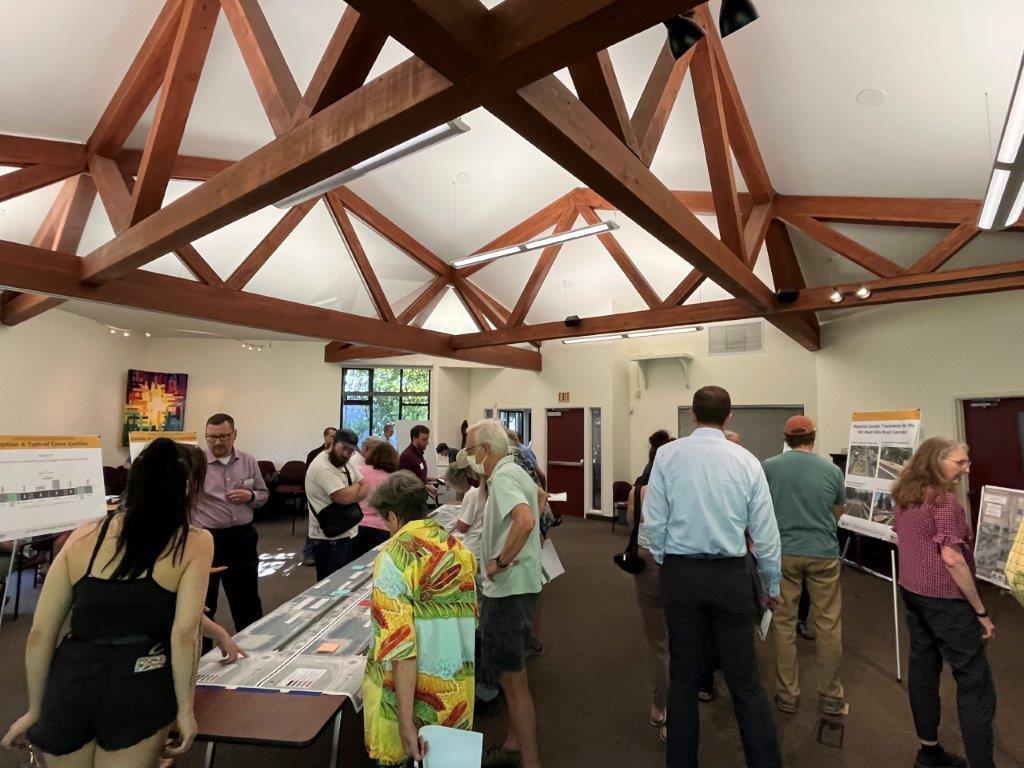
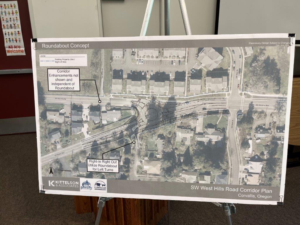
SW West Hills Road Corridor Plan

Status: In Progress
Location: SW West Hills Road from SW 53rd Street to Western Boulevard.
Project Description: Exploration of different methods of major improvement to the section of roadway in partnership with the City of Corvallis. This project is still in the developmental and conceptional phase.
Impacts: SW West Hills Road is improved for the safety of all methods of travel and ownership is eventually transferred to the City of Corvallis.
Additional Information: The projects team have conducted several public surveys and neighborhood presentations on this project.

See our project flyer or use the links below for more information.

SW West Hills Traffic DataInteractive Project Mapping ToolSeptember 7, 2023
City Council Materials
Agenda, Minutes, Packet, Video
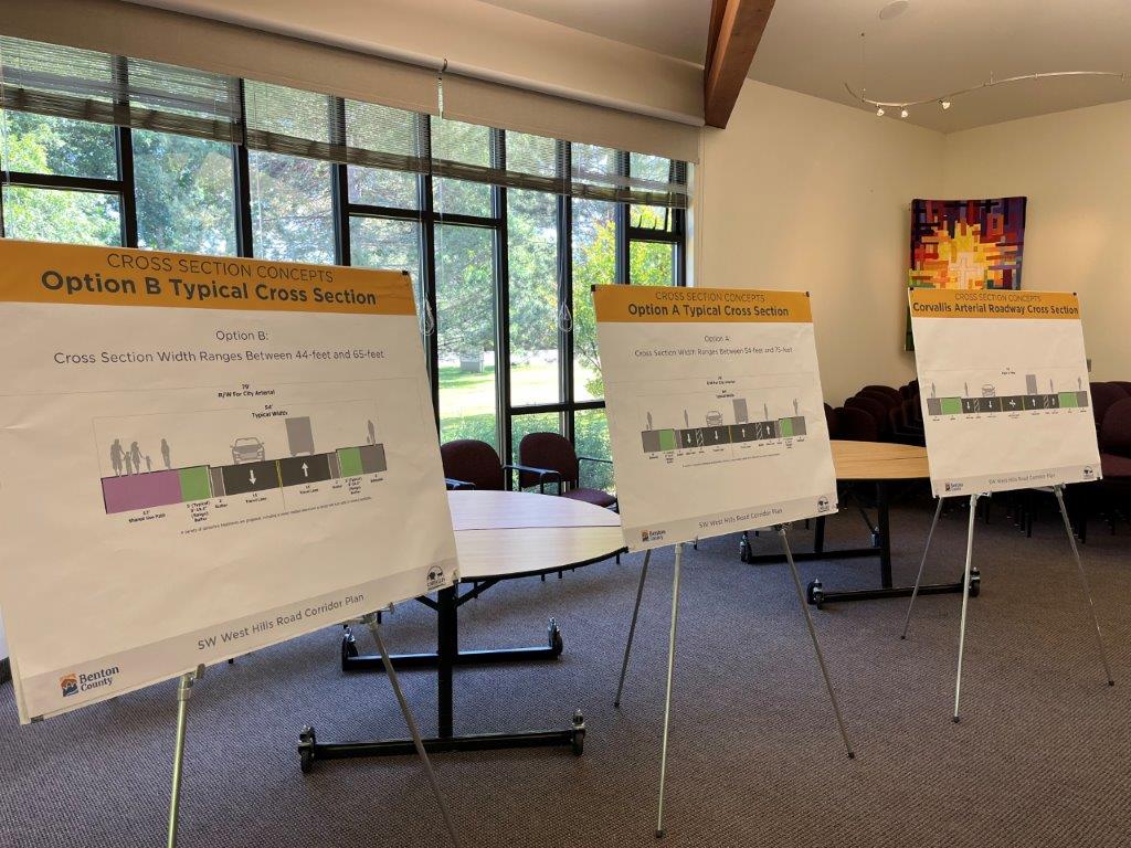
Cross Sections
June 2023
November 2023
Public Survey
Data & Responses
Information Boards and Exhibits
June 2023
November 2023
Corridor ConceptRoundabout ConceptContact the Project Team

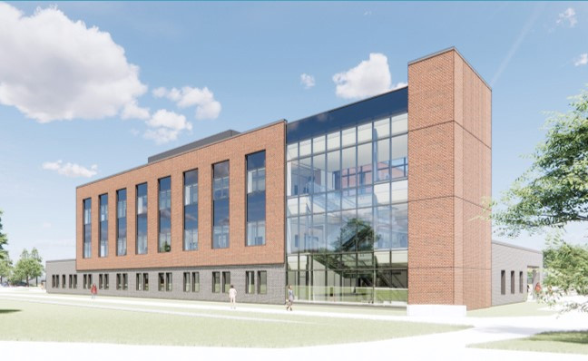
architect's rendering of new Benton County Courthouse

County Courthouse and District Attorney’s Office & Emergency Operations Center

Updated August 11, 2025

Status: In Progress (see project dashboards below for more information)
Location: Hwy 20 in Corvallis, west of the Hewlett Packard campus.

Project Description: Construction of a modern Benton County Courthouse and District Attorney’s Office that meets the needs of the state court. An Emergency Operations Center (EOC) is also being constructed at the same site.

Courthouse Project Dashboard

EOC Project Dashboard

Schedule:

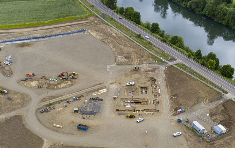
Feb. – April 2025: Crews worked to prepare the site, including:

  • Soil treatment under the planned roads and parking lots.
  • Prep for start of work on building foundations.
  • Relocating power cables for old clubhouse on site.

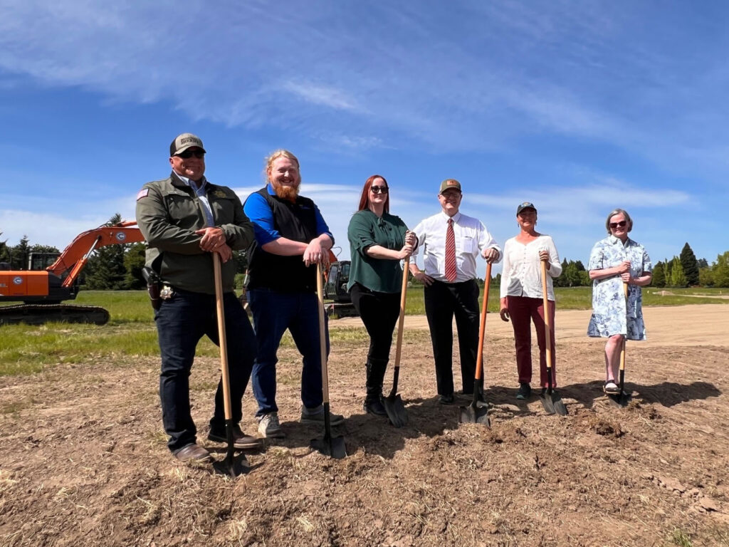
May 9, 2025: Official groundbreaking

(L to R): Sheriff Jef Van Arsdall, Commissioner Gabe Shepherd, Commissioner and Chair Nancy Wyse, District Attorney Ryan Joslin, former Commissioner Xan Augerot and State Representative Sarah Finger McDonald​.

Mid-May 2025: Start work on building foundations


For more information see our project flyer

Back to top